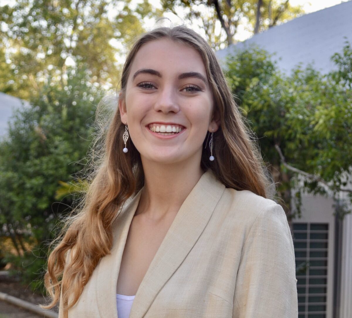
Written by Sophie Kalkowski-Pope
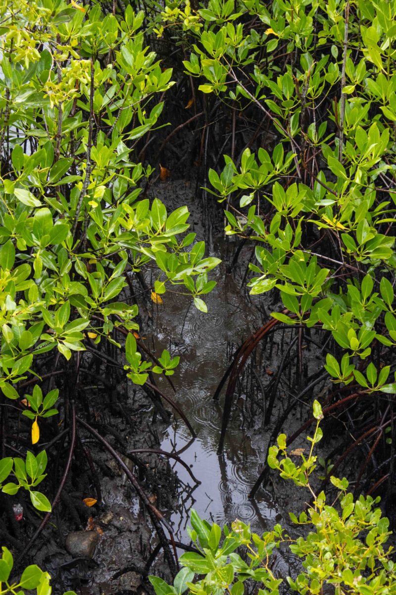
The rain thrums on the roof above us, as we huddle in underneath a tin roof for shelter. We’re walking through the mangroves on a raised platform, heading to a meeting with the local community. The vegetation around us is glowing an incredible vibrant green, leaves dripping with droplets.
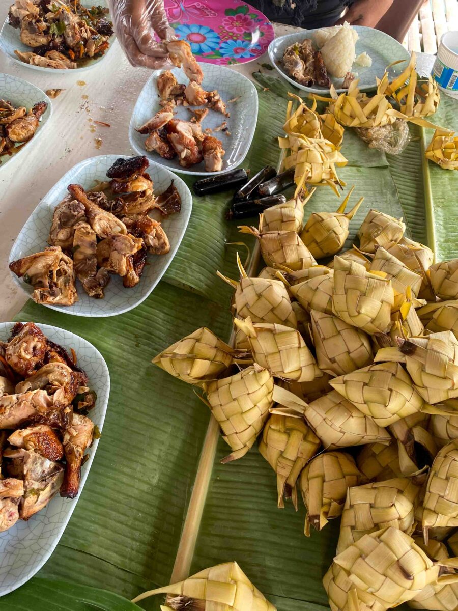
Later on, a motorbike navigates the narrow pathway with ease, on their way to work. What surprised me more, was the 5kg cardboard boxes we were carrying on our shoulders, filled with Jollibee’s fried chicken. Food is a way of sharing in the Philippines, it brings people together, and is an important part of any meeting or community consultation. This was just one part of my learning during my time with the Coastal Conservation and Education Foundation.
CCEF is a not-for-profit marine conservation organisation based in Cebu in the Philippines. Founded by Alan White, their mission is to educate people about the importance of their marine resources via engaging directly with communities to create local MPA’s managed by the local people. The team has been involved in the development of almost 200 MPAs throughout the Philippines, all the way from establishment, management and ongoing monitoring.
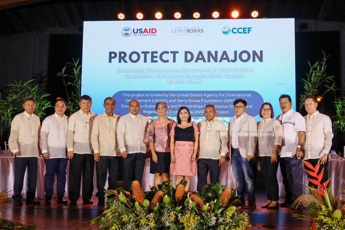
I had the opportunity to take part in two key projects during my time with CCEF: USAID project “Protect Danajon” and a day of community consultations in Badian.
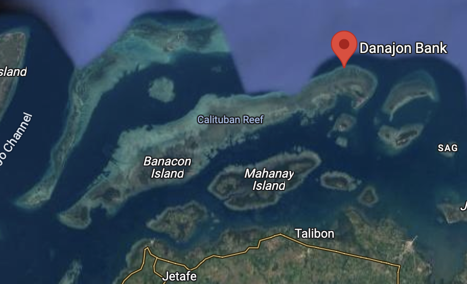
The Danajon Double Barrier Reef is one of only 6 Barrier Reefs in the World, and the only one in the Philippines. Spanning over 380 km long, it is the largest double barrier reef in the world. These unique geological structures, formed by a combination of ridge bathymetry and currents, result in two long two parallel reef structures.
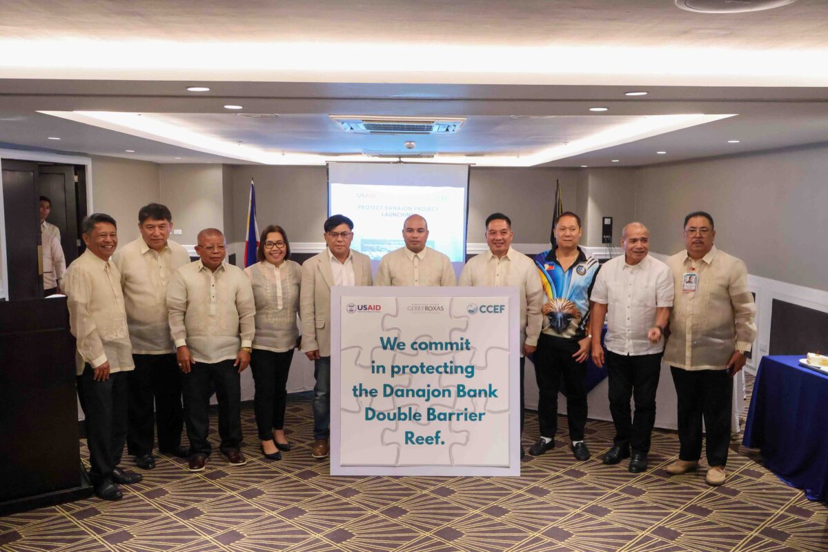
Despite its uniqueness, this Double Barrier Reef faces cumulative threats from overexploitation and dynamite fishing, a highly destructive and illegal practice that involves using explosives to stun or kill fish, harming marine ecosystems and causing declining fish populations. While there have been efforts to conserve the area in the past, Protect Danajon, facilitated by CCEF, aims to coordinate all the existing governance and structures into one unified management body.
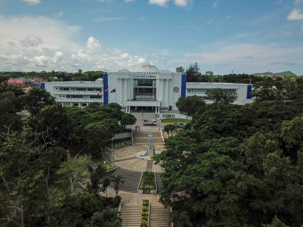
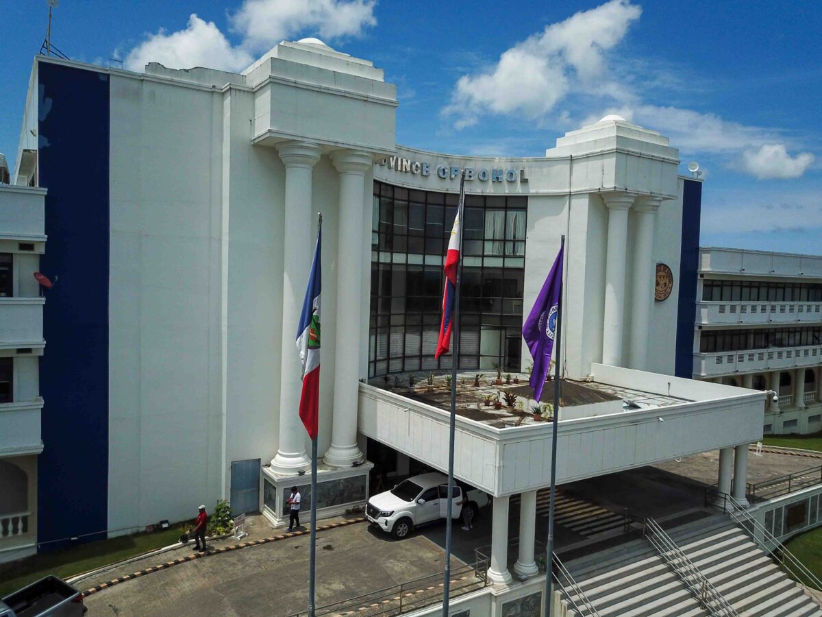
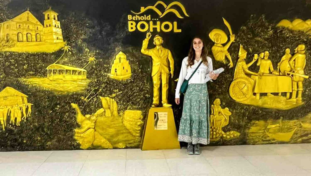
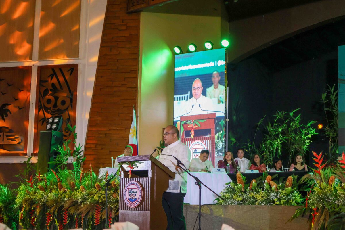
To facilitate this process, we travelled from Cebu, to Bohol in the North for a meeting with all the relevant management authorities. Here we had the honour of being invited to the State of the Province Address, by Governor Erico Aristotle C. Aumentado.
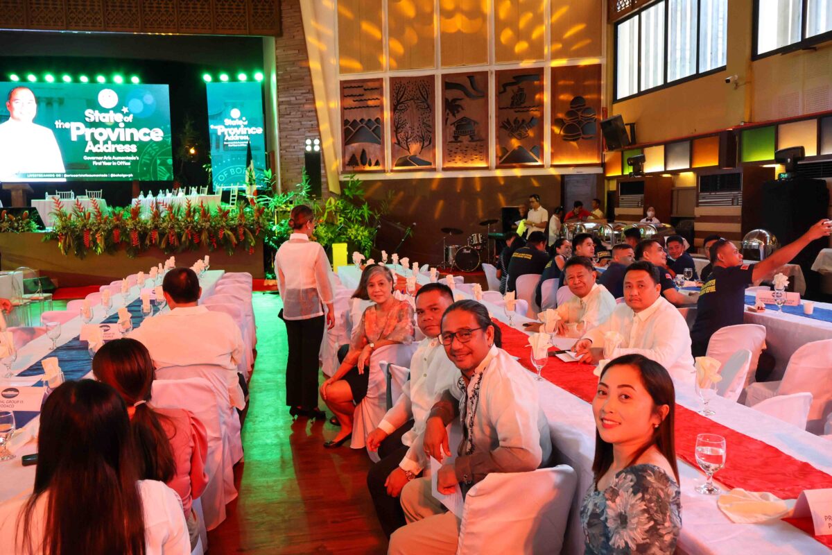
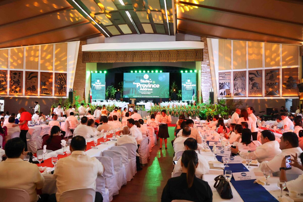
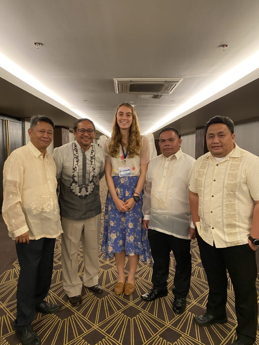
In respect of the occasion, I got to wear Filipiniana with the rest of the team, a traditional dress in the Philippines reserved for formal occasions.
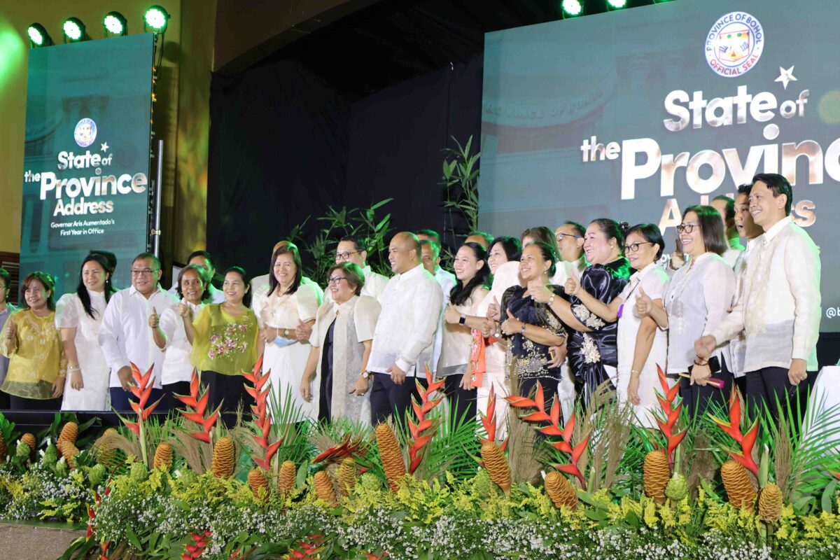
In the afternoon, we had the first formal meeting of the Danajon Bank Seascape Management Council. Here I learnt about the difficulty of coordinating a large number of government officials, but also the importance of symbolic imagery, where we had a jigsaw puzzle ceremony designed to signify each party playing their part. The discussions were productive but also raised important questions about the delegation of responsibilities for boat patrols and borders between central and local government.
My key takeaway from this experience with CCEF was learning the importance of not-for-profits as a catalyst for motivating government action.
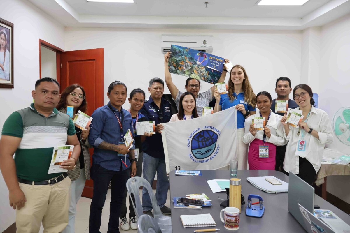
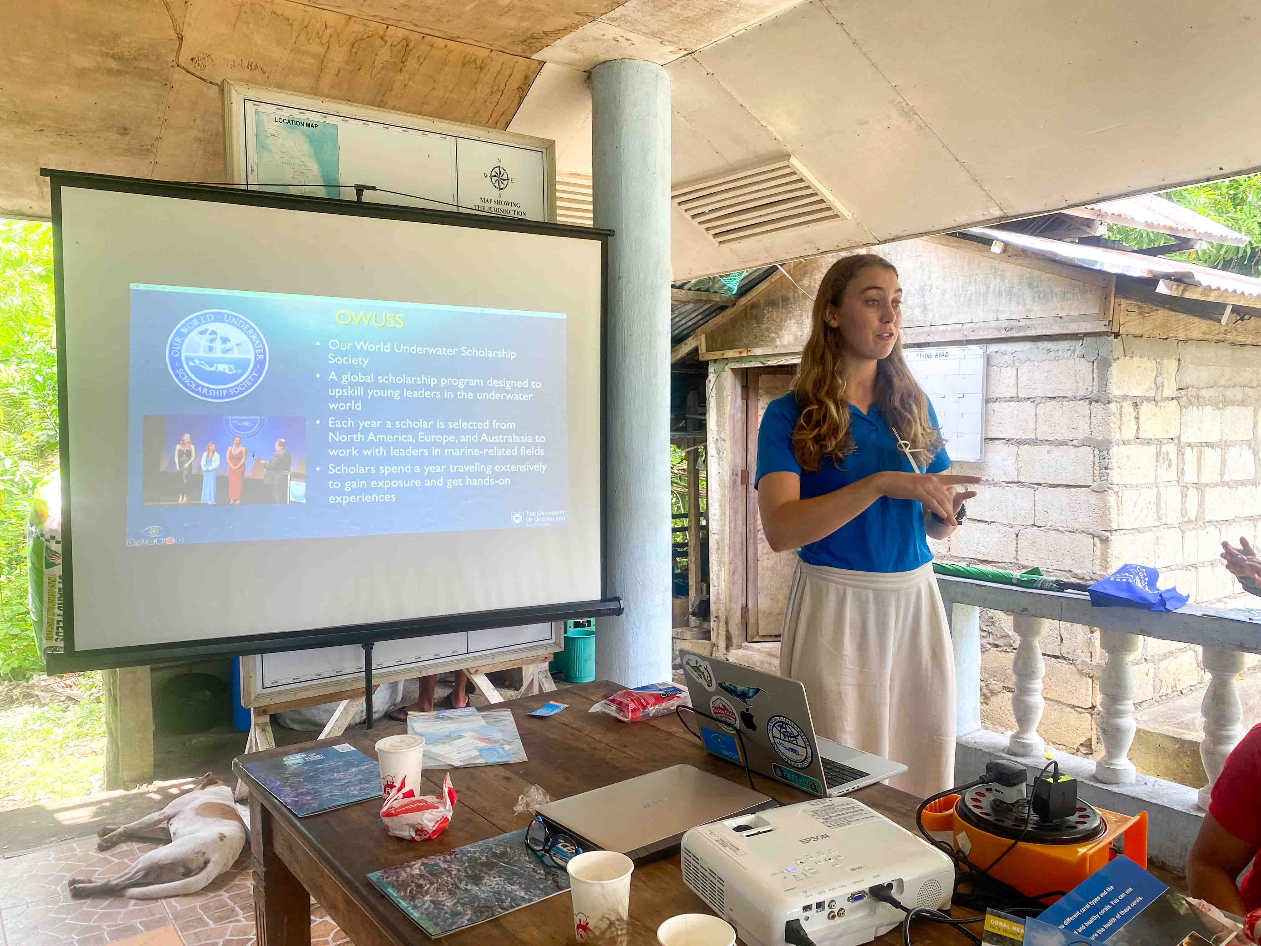
While I was there, I also had the opportunity to give a presentation to the CCEF Team and the Staff of Bohol Provincial Environmental Management Office. Here I gave some background to OWUSS and the citizen science program CoralWatch. It was exciting to give the management team a new tool to integrate into their survey methods!
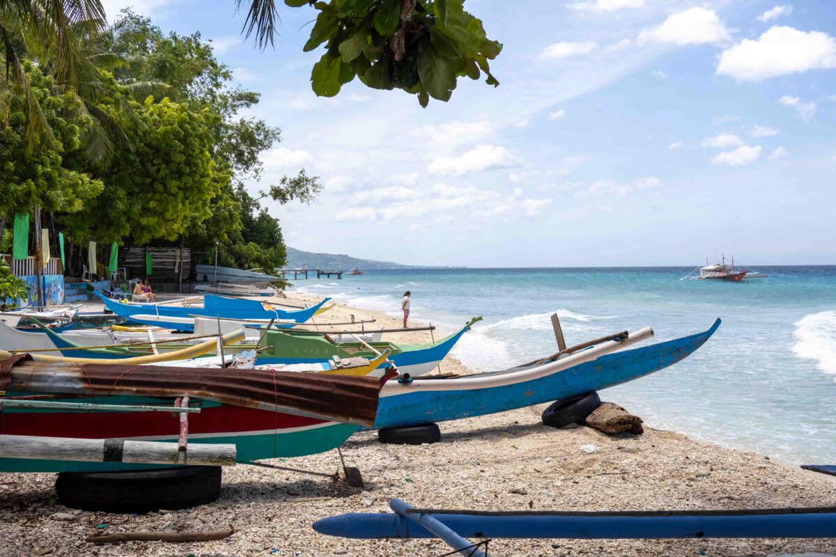
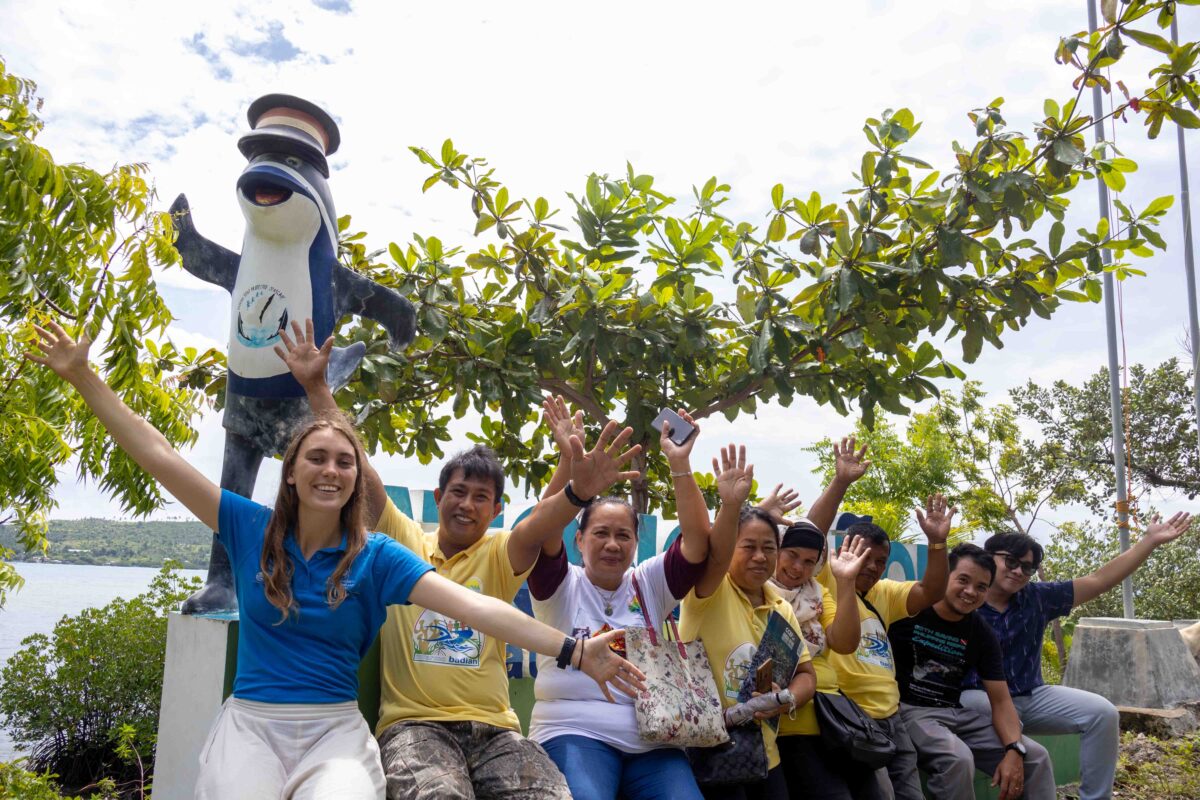
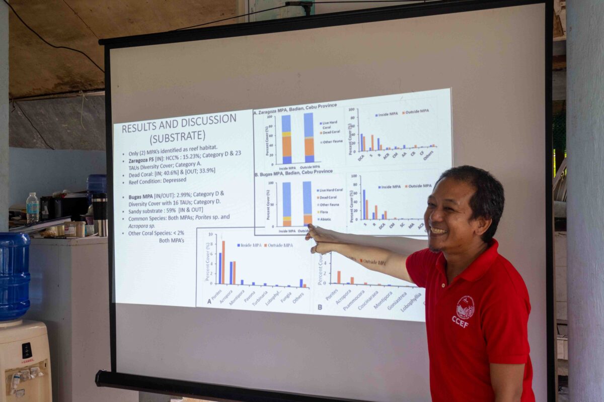
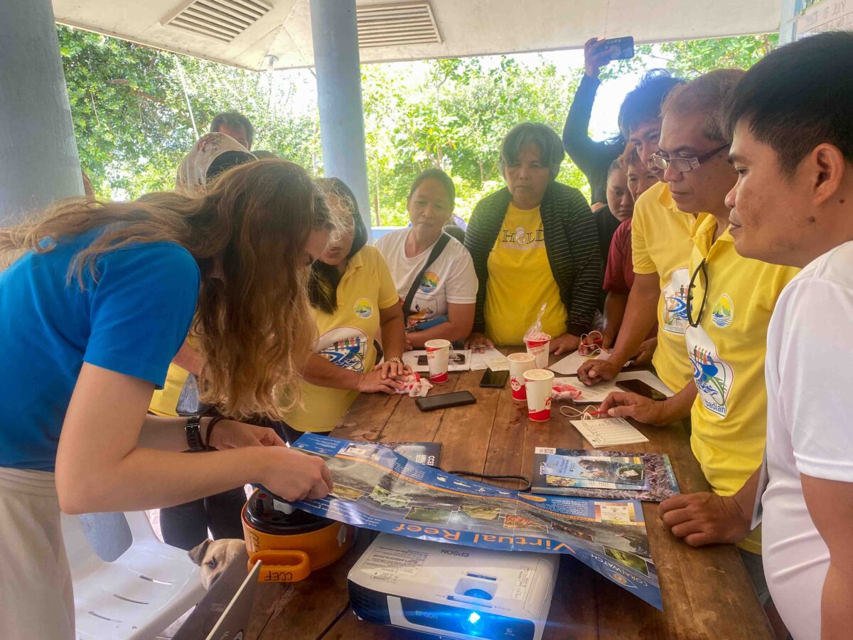
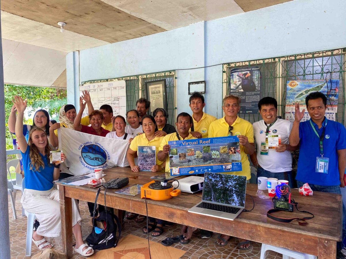
The team then travelled down South of Cebu, to a community in Badian. Here the town runs two small community based MPAs in Zaragosa Island and Bugas. Here at the Tanon Strait Protected Seascape Management Unit, CCEF ran a community consultation to present the results from their annual biophysical surveys. In their methodology, CCEF surveys coral reefs using transect surveys, and also measures the extent of seagrass and mangroves in the area.
While I was here, I also gave another CoralWatch presentation, with the goal that this citizen science tool could build capacity and allow community members to monitor their own local reefs.
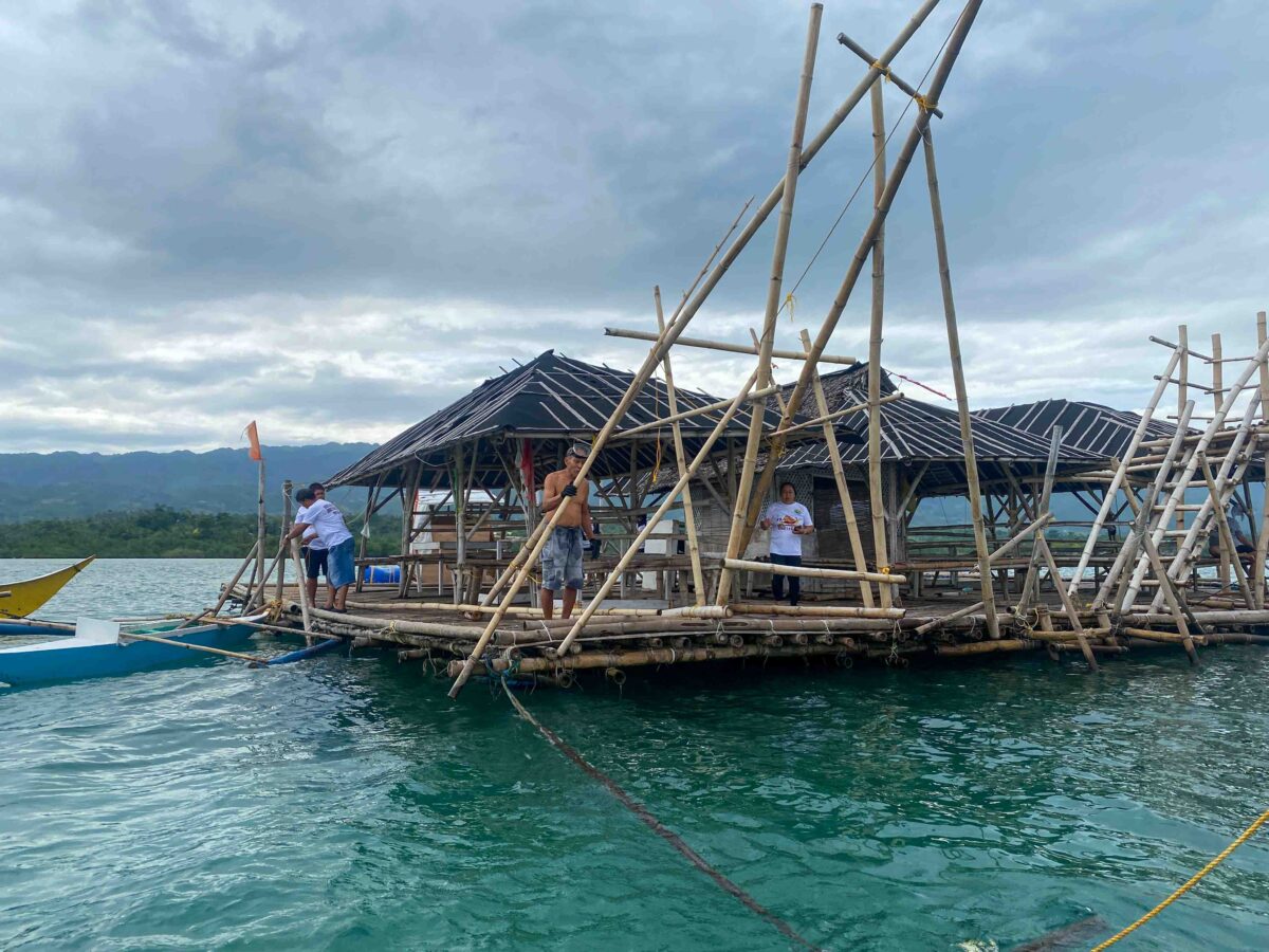
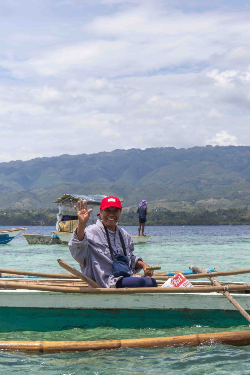
Afterwards, the local council welcomed us with a traditional lunch in their floating village which was a real treat.
“Where did you say the border of the MPA was?” Danilo asks the local management council.
“Hmm, maybe roughly over there” one of the figures gestures, pointing somewhere in the distance.
“No, over there”, another states.
This is the reality for this community. In their small locally run marine protected area (MPA), the buoys that marked the boundary of the marine protected area were destroyed in a recent cyclone, and the community didn’t have money to fund new markers.
My time with Coastal Conservation and Education Foundation (CCEF) exposed me to the challenges of doing MPA management in the developing world.
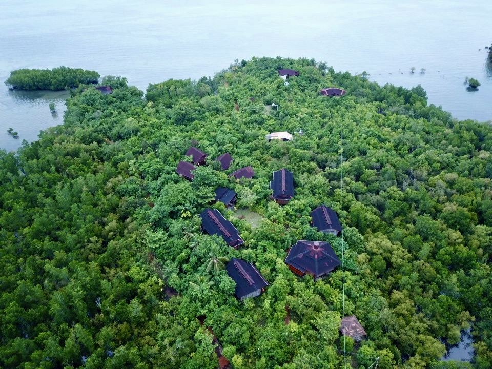
While we were here, we stayed at Eskapo Verde, a beautiful eco-resort with bamboo housing built in the middle of a mangrove system. Talking with the owner, he explained that the presence of the resort has prevented the illegal clearing of mangrove timber and gleaning practices, and had a positive impact on the surrounding ecosystem.
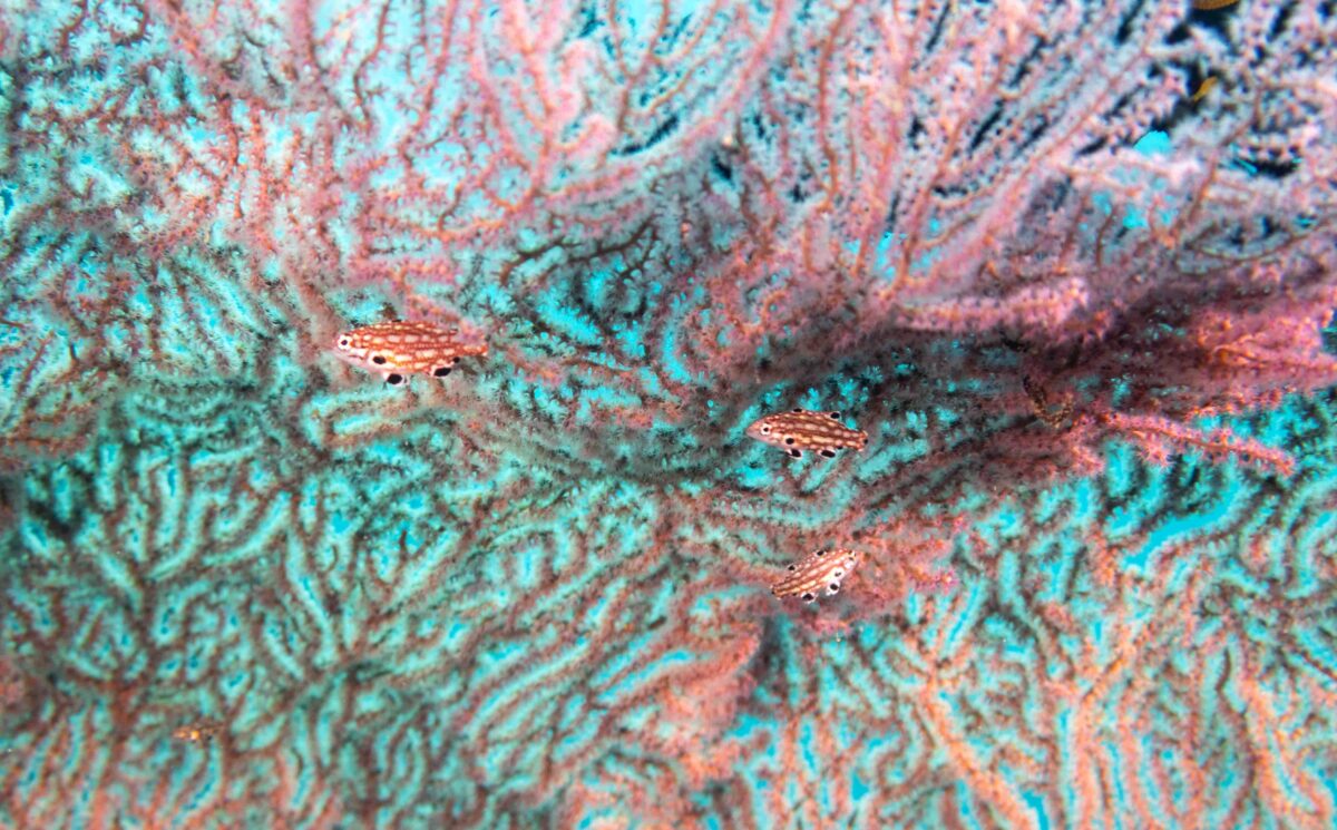
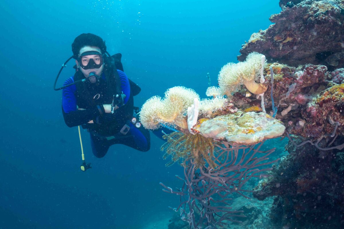
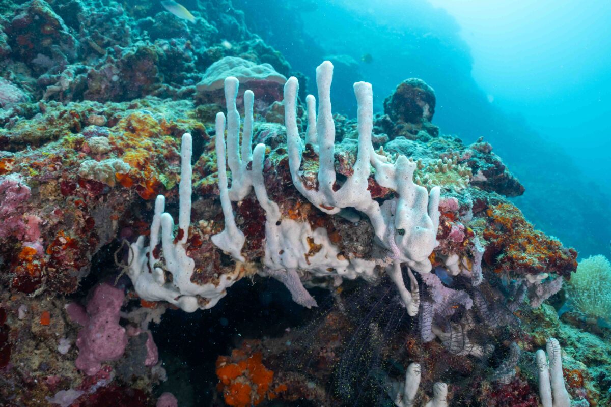
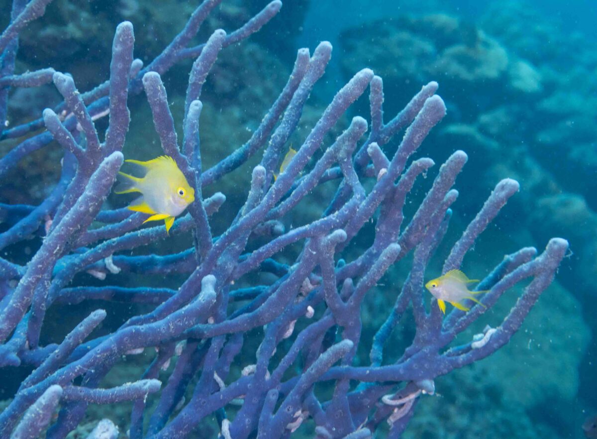
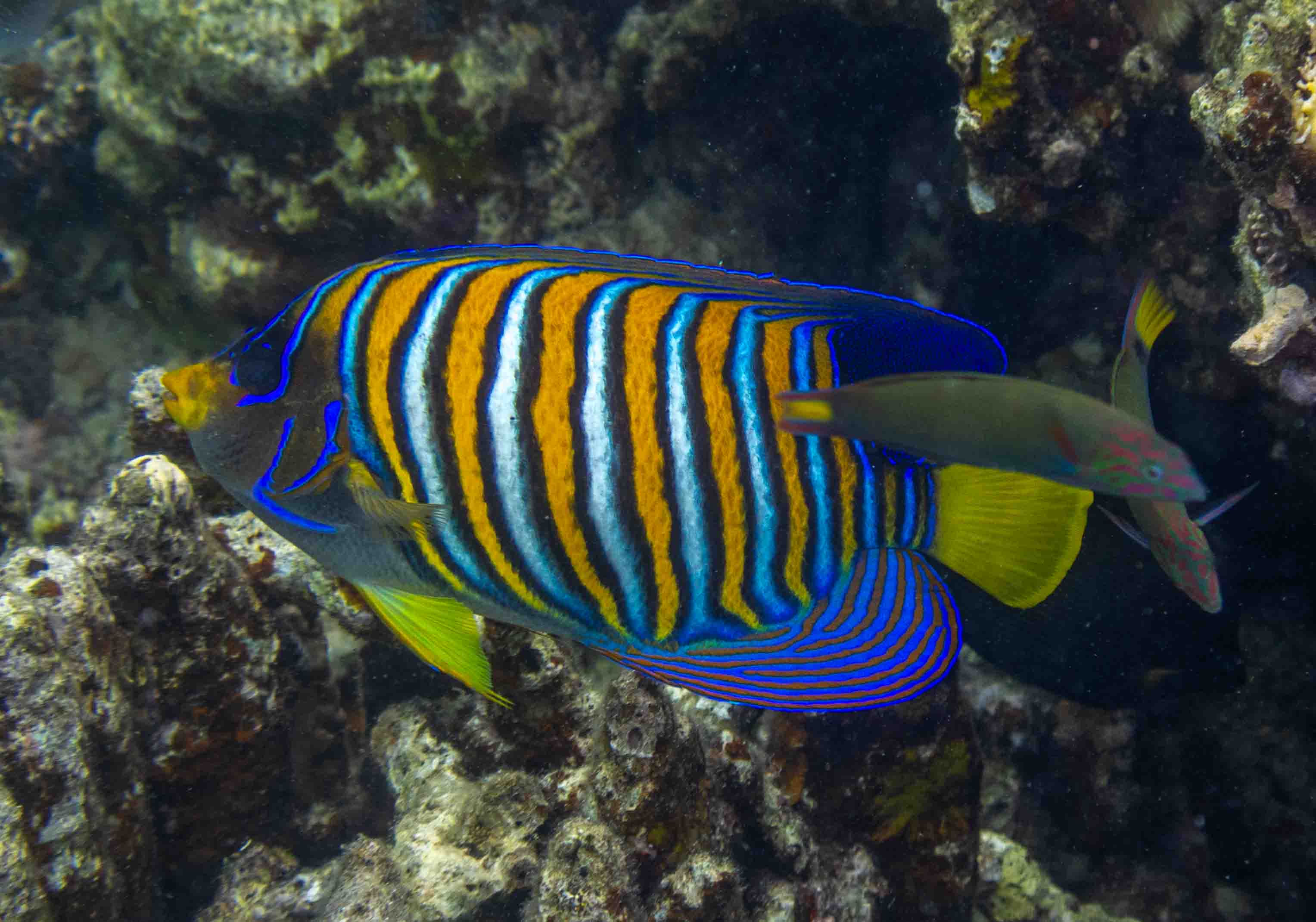
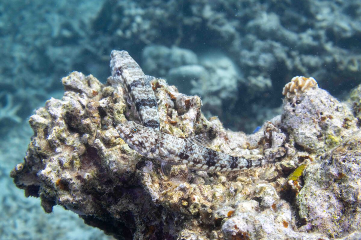
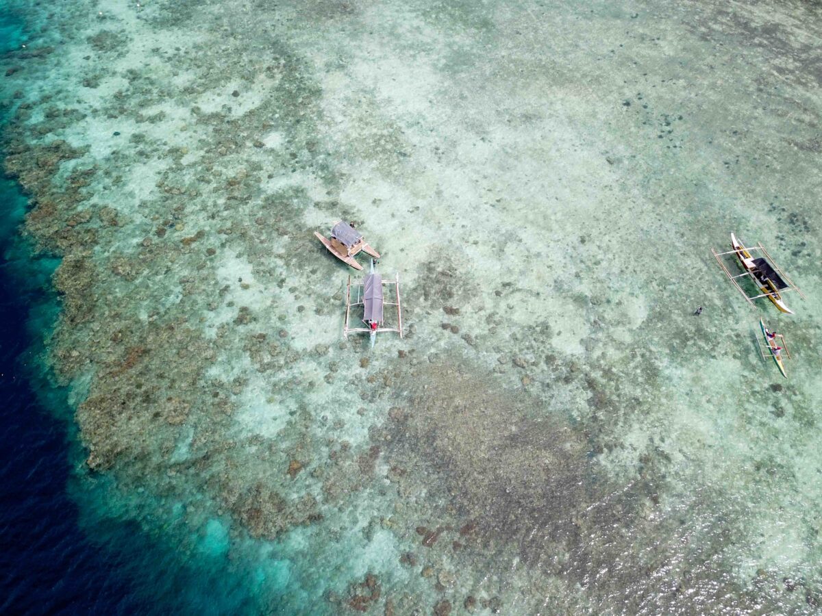
We also had a chance to do a dive at Zaragosa Island – seeing the mixture of beautiful fish life and large rubble patches was an important reminder of the importance of managing these areas.

While here, I was amazed to learn about the lives of the local fish warden; the fact that this local MPA had a woman sitting in a floating hut at the MPA every single day to enforce the boundaries.
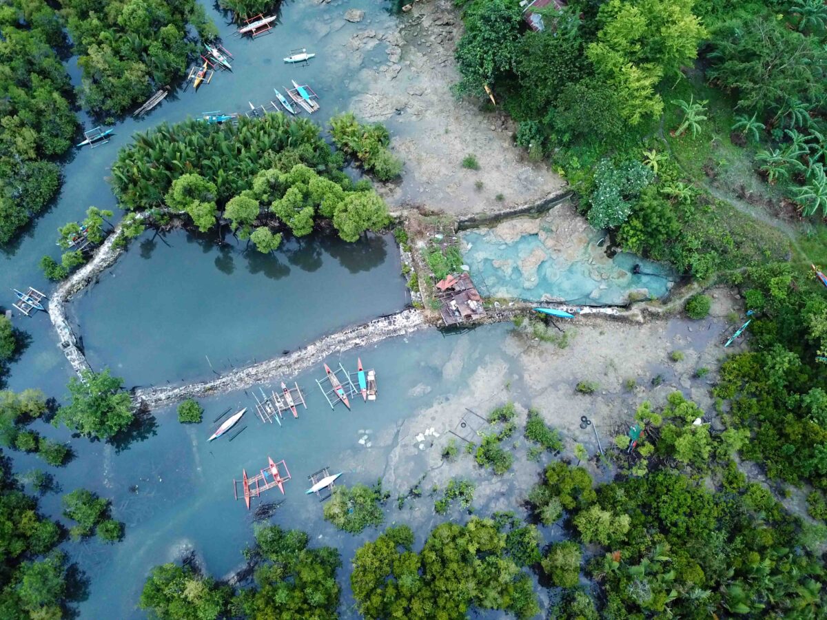
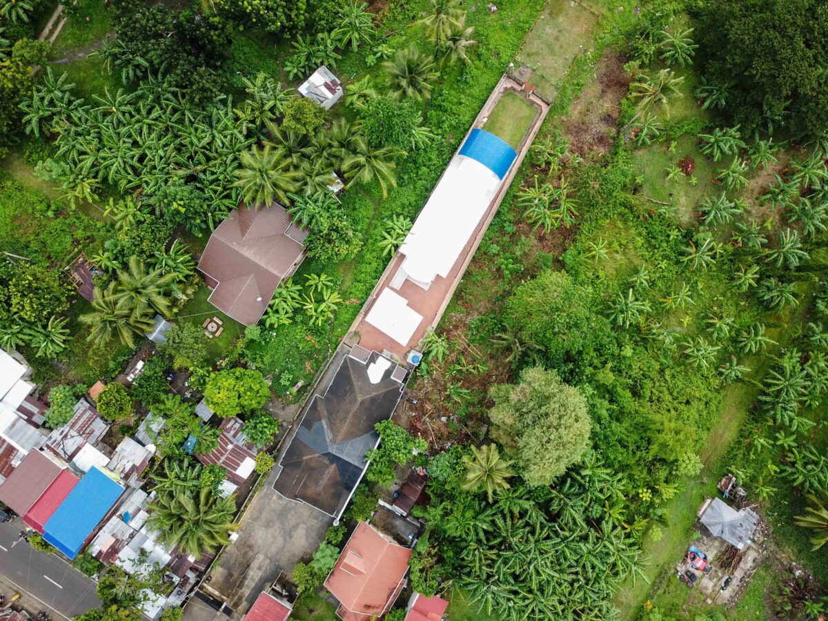
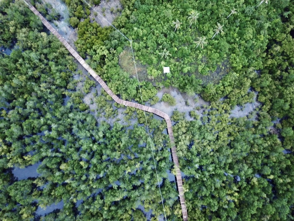
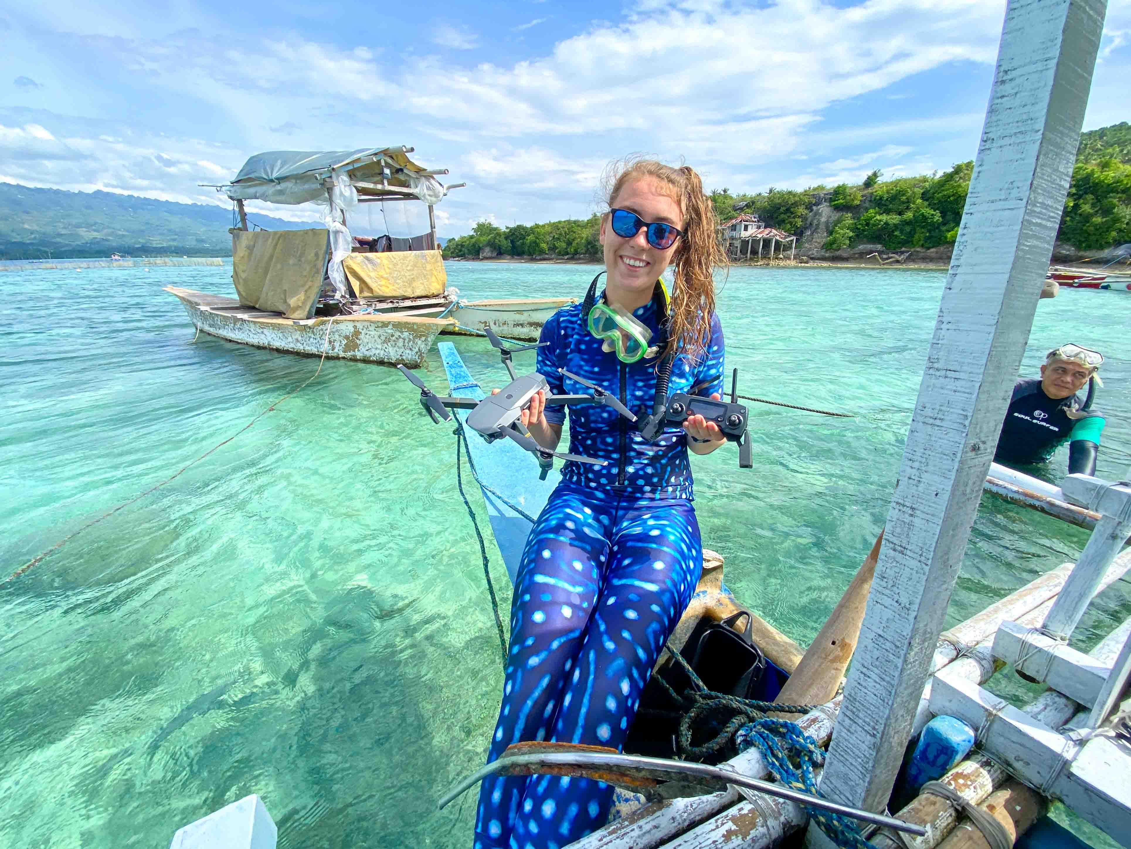
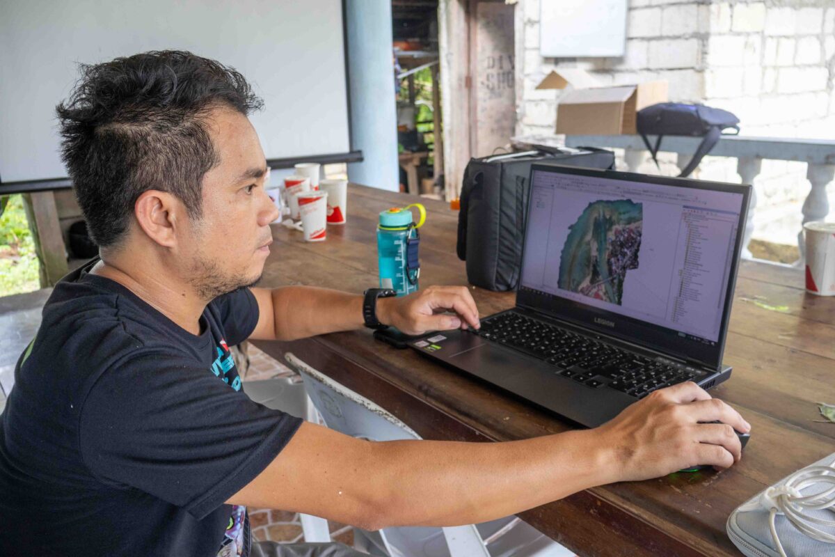
During our stay in Badian, I had the chance to try some drone mapping for the first time, using my DJI Mavic Pro to create a high resolution aerial image of the existing MPA. Here we were confronted with the practical limitations of fieldwork, where the remnants of cyclone Doksuri created extreme winds that proved an obstacle to drone mapping, and realising the amount of batteries you need to effectively map an area. Afterwards I experimented with how these images can be stitched together in Agisoft – a powerful photogrammetry software commonly used in GIS and photogrammetry applications.
Overall my time with CCEF taught me about the challenges of MPA management in developing countries. While I learnt about many obstacles to marine conservation here, it also showed me the practical change that can be generated when a small group of motivated people decide to take action.
I’m so grateful to my host Rikki and the team from CCEF for their warmth and friendliness while we were working together. Thank you very much for hosting me! Thank you sincerely also to Stacey Tighe for facilitating these connections.
Next I am off to Sulawesi, Indonesia to enhance my knowledge of the diverse marine life that thrives within silty muck environments, and practise my macro photography skills.
I am so grateful to OWUSS for making opportunities I would not have dreamed of before and broadening my horizons to a global scale. A special thank you to the countless volunteers behind OWUSS, and the sponsors that make this scholarship possible at ROLEX. I would also like to thank my equipment sponsors at TUSA, Waterproof International, Reef Photo & Video, Mako Eyewear, my camera gear sponsors at Reef Photo & Video, Nauticam, and long time scholarship supporters DAN, and PADI.
To follow along on my adventures, I highly recommend you follow me on social media!
My Instagram @sophie_dives is where I post most regularly.
You can also contact me on LinkedIn, Twitter, Tiktok, and the Australasian Scholar Facebook Page.
You can also subscribe to this blog here!
