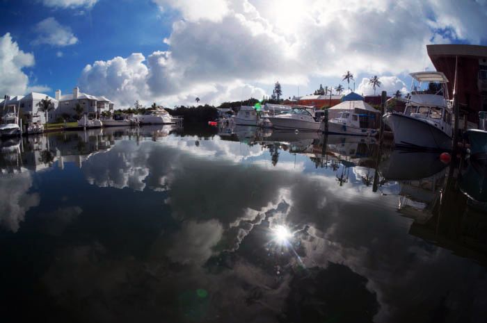
As we landed on the mysterious island of Bermuda after a marathon journey from Sydney, we were greeted by the rest of The Catlin Seaview Survey team still loading all their equipment into the small truck required to fit it all in. Taking several hundred kg’s of equipment to the other side of the planet isn’t easy, but every piece necessary for the important work being done on this race against time to map the world’s coral reefs.
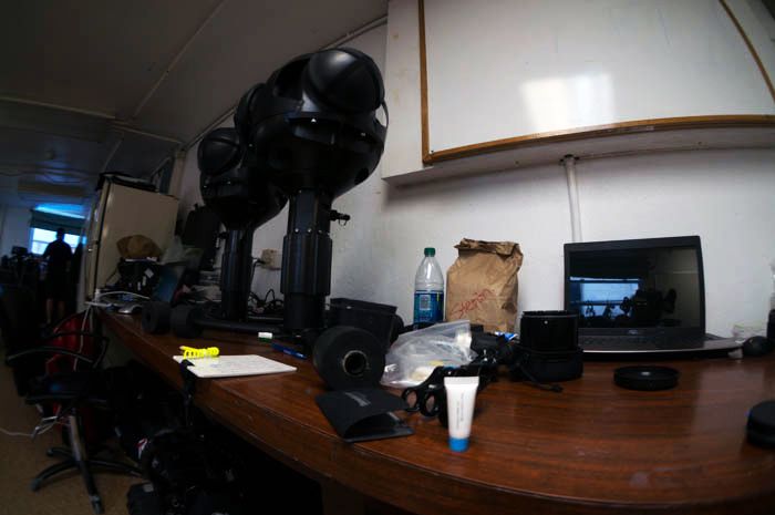
This ambitious program aims to capture 360 degree images, Google street view style, of all the major coral reef regions over the next 3 years. The aim is to provide a scientific baseline of the current state of our coral reefs and will provide extremely useful data for scientists worldwide. Each image is accurately GPS-located, allowing sites to be revisited so that any changes can be assessed over time. Since an image says more than 1000 words, when put in a scientific context these images can be extremely valuable, especially when you consider the cameras are able to capture over 1000 high resolution images per dive. I can clearly remember in my postgraduate studies spending countless days out in the field to collect underwater data. I also understand very well all of the associated preparation, planning, costs, and time involved in collecting this data and can therefore see the huge scientific potential and value of this project.
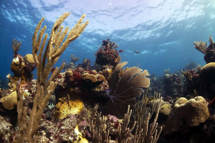
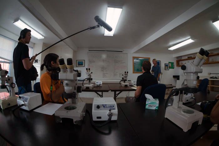
You can imagine with all these images, processing would become a bottleneck to collect scientific data. However, imagery from the global survey is being analysed using sophisticated image recognition technology in collaboration with the SCRIPPS Institute of Oceanography in San Diego. The development of this software will allow hundreds of thousands of images to be analysed for coral coverage and species diversity so they can be accurately monitored over time. Stereo images of the ocean floor are also being used to analyse the three dimensional structure of the reef so that this important data can be assessed together with coral coverage and species diversity. All the analysis data will be made publicly available in the Catlin Global Reef Record which was recently launched during my time in Bermuda.
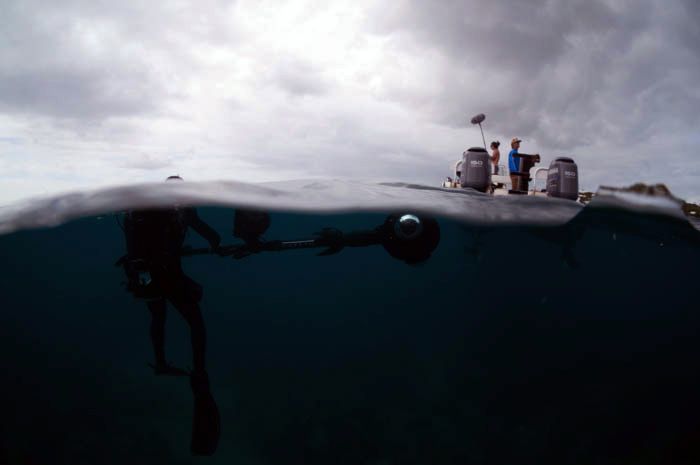
But the Catlin Seaview Survey is not just about the science, it’s also about the communication. Since most people don’t dive and the ocean is out of sight and easily out of mind, it’s important for them to see what’s going on underwater. Through the support of Google and eye catching images, the Catlin Seaview Survey want to engage the public to show them what’s actually going on down there. Throughout the expedition, I was involved in assisting Christophe, the head of operations and underwater videographer who was out ‘chasing vis’ to find the most impressive shots from the region. My role was to follow him towing a Buoy with a GPS attached which was synchronised to the timing of the camera to geographically locate each shot. It was essential for me not to get too close to get in the shot, nor lag behind or I would lose him which is more difficult than it sounds, especially when there’s so many interesting sights to be distracted by!
Being such an impressive and groundbreaking project, the Catlin Seaview Survey has gained quite some attention since its launch just last year and has been featured on CNN, The Discovery Channel, IMAX and now have over 3 million followers and growing on Google plus. There is no surprise why the director of the very successful recent documentary ‘Chasing Ice’ was also in Bermuda to make a pilot for a documentary on the project. Throughout my scholarship so far I have had the privilege to work alongside many film crew, but Jeff and his team really stood out and their stories were incredibly inspiring for me.
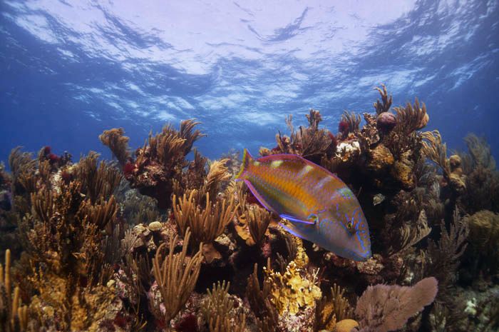
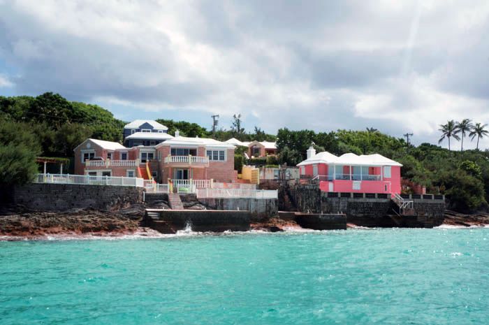
Bermuda impressed the team with extremely high levels of healthy coral cover but conditions were challenging with unpredictable changes in conditions underwater. By the last day of the expedition as a huge storm rolled in, all team members agreed they were satisfied with their efforts and another region has been successfully covered.
